
by allyem | Jul 15, 2020 | News
View the new GIS Story Map. It showcases DelDOT’s Bicycle LTS model that provides a basis to plan for a bicycle-friendly Delaware. Low-stress bicycle networks should produce a comfortable experience for bicyclists, of all ages and abilities, through a connected system...
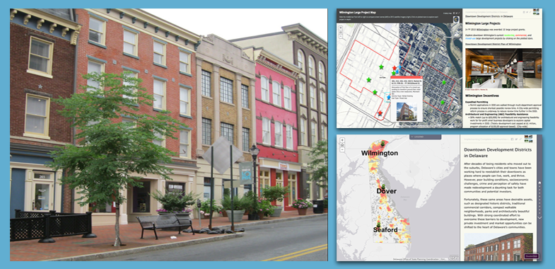
by Sarah Marshall Pragg | Jul 1, 2016 | News, Toolbox
On June 27, Governor Jack Markell and the Delaware State Housing Authority announced that Wilmington, Dover, and Seaford will receive $4.5 million in grant funding for 11 downtown revitalization projects at part of Delaware’s Downtown Development Districts...
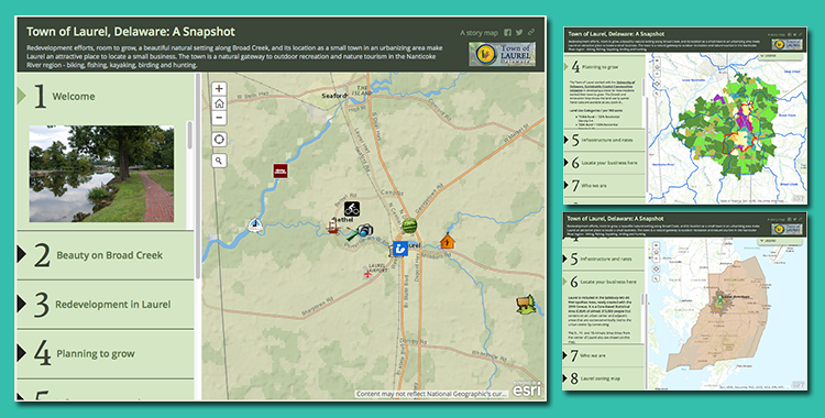
by Sarah Marshall Pragg | Nov 9, 2015 | News, Toolbox
This GIS Story Map was developed for the Town of Laurel to highlight its outstanding redevelopment potential, location for small businesses, and quality of life. The GIS Story Map offers a variety of demographic and marketing data, points of interest, marketing...
