View the new GIS Story Map. It showcases DelDOT’s Bicycle LTS model that provides a basis to plan for a bicycle-friendly Delaware. Low-stress bicycle networks should produce a comfortable experience for bicyclists, of all ages and abilities, through a connected system of low-speed local roads, off-street trails, and on-street bicycle facilities. Bicycle Level of Traffic Stress (LTS) refers to the idea that a set of criteria and measures of low-stress connectivity can be used to evaluate and guide bicycle network planning. The Delaware Department of Transportation (DelDOT) has developed a Bicycle LTS model, available on First Map, the State of Delaware’s GIS portal, to help visualize and plan for a bicycle-friendly Delaware. This GIS Story Map showcases the Bicycle LTS Model, highlights ways to assess bicycle LTS in a community, and can be used as a basis to plan for a bicycle-friendly Delaware.
Category Archives: News
Blueprint for a Bicycle-Friendly Delaware Spark Page
The Blueprint for a Bicycle-Friendly Delaware Framework for Local Implementation Adobe Spark Page guides local governments through the process of developing a project and coordinating with regional and state entities in accordance with the Blueprint’s goals and DelDOT’s project prioritization process. Envisioning a Delaware where high-quality bicycle networks connect destinations and cyclists of all skill levels feel safe, DelDOT created the Blueprint for a Bicycle-Friendly Delaware to establish a transparent process through which DelDOT can support bicycle-friendly planning projects led by local governments. Through participatory planning and coordination with land use strategies, locally-driven bicycle planning builds a strong foundation for bikeability by more accurately identifying the wants and needs of each specific community.
Jack A. Markell Trail
From the Wilmington riverfront to Historic New Castle, the Jack A. Markell Trail offers cyclists and pedestrians a scenic trip through northern Delaware. The Jack A. Markell Trail Adobe Spark Page offers a visual guide to the new Jack A. Markell pedestrian and bicycle trail. The guide presents an overview of all the trail has to offer and a detailed synopsis of the trail’s construction and background. The Adobe Spark Page also highlights the trail’s benefits to citizen health and to the community’s environment. The new trail is a monumental step toward a more healthy, active, and inclusive environment in Delaware.
Visit the Complete Communities YouTube Channel
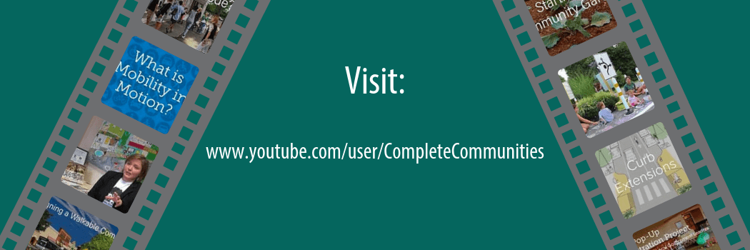
Explore the Complete Communities YouTube Channel for visually engaging tools to help you plan for communities that are attractive, inclusive, efficient, healthy, and resilient places. Check out our playlists for video series that feature interesting topics. Get to know creative placemakers in Delaware with the Stories of Delaware’s Complete Communities playlist that highlights innovative placemaking projects across Delaware. Watch the Delaware Byways playlist to take a journey through the scenic byways of Delaware’s natural landscape. New videos are posted frequently. From interviews with local experts to showcasing new policy strategies, the YouTube channel has something to offer for everyone interested in planning for complete communities.
Delaware Complete Communities 2018 Year in Review Story Map
The Delaware Complete Communities Planning Toolbox project strives to provide local government officials, planning commission members, and “citizen planners” with the tools they need to create communities that are accessible, economically vibrant, healthy, inclusive, resilient, and livable for all residents. The Delaware Complete Communities 2018 GIS story map highlights initiatives undertaken in 2018 to support, develop, promote, and maintain the Delaware Complete Communities Planning Toolbox.
New Toolbox content, in the form of web pages, GIS Story Maps, Adobe Spark pages, videos, and infographics, is designed to foster an understanding of strategies to plan and design for complete communities in Delaware. New topics developed for the Toolbox with high-impact visual content are organized by the five elements of a complete community. Virtually meet the Delaware Complete Communities project team, view the project timeline, learn about the geography of our work, and experience the interactive content developed over the past year!
Stories of Delaware’s Complete Communities
Explore the Stories of Delaware’s Complete Communities GIS story map to learn how communities are creating pop-ups for calmer traffic and resident engagement. Reconfiguring roadways and public spaces can help calm traffic and achieve more walkable-, bikeable-, and activity-oriented places. But, permanent, large-scale changes can be difficult to launch. Each of the stories featured in this story map demonstrates how communities can come together to creatively address problems through temporary, low-cost pop-up projects, which can enhance public spaces and inspire more permanent change.
Often described as “tactical urbanism,” pop-up demonstration and pilot projects, like those featured in this story map, are designed to provide low-cost, temporary built-environment changes that are guided by community goals and work to transform public spaces into vibrant, activity-oriented destinations with calm traffic. View this GIS story map to learn how tactical urbanism in Delaware has been used to test a pop-up bike lane and transform a street to a vibrant cultural corridor, calm traffic with a temporary traffic circle, and convert on-street parking into a portable parklet.
Esri Featured Story Maps

According to Esri, the gallery “a selection of stories we’ve hand-picked to highlight particular subjects, best practices and approaches.” Click on the image to visit the gallery.
The Complete Communities Story Map Gallery is featured by Esri, an international GIS company. Known as the global leader in GIS software, Esri provides ArcGIS, a software that can be used to assess and present data in a spatial context. Using ArcGIS, Complete Communities creates story maps, which are visually engaging platforms that allow spatial data and information to be presented in a multimedia, storytelling format.
May Is Bike Month
In celebration of Bike Month riders are coming together throughout the state to celebrate cycling. View this spark page for more information about events in your area.
New GIS Story Map: Investments in Downtown Development Districts
The Investments in Downtown Development Districts (DDDs) GIS story map highlights developer investments for both large and small project set-asides in each DDD community through 2017. In addition, the map identifies the type of project in terms of commercial, residential, and/or mixed-use development. This story map is comprised of eight (8) individual story maps, one for each of Delaware’s designated DDDs, which may be viewed in the “Implementing Complete Communities in Delaware” GIS Story Map Gallery.
To learn more about using GIS story maps as a tool for public engagement, visit our GIS story maps page.
Wednesday’s Round-Up 1/24/18
Happy Wednesday! We’re trying out a new effort here on the Delaware Complete Communities Planning toolbox. Check in every two week for a round-up of new content added the toolbox, or discovered out in the interwebs, collected here just for you.
New this week
Tactical Urbanism is a strategy that uses quick, cheap projects to make a small part of the city more livable. This video highlights the benefits of this technique.
Are you ready for automated vehicles in Delaware? This video considers the impacts of autonomous and connected vehicles (CAVs) on issues such as roadway safety, traffic congestion, and the economy.
From the archives
Dust off our Winter Maintenance guide to review how Delaware local governments can clarify and better coordinate responsibilities for winter maintenance of pedestrian facilities.
Spotlight on Delaware
Gov. John Carney delivered his State of the State Address to a Joint Session of the General Assembly last week. Did you miss it? Watch it now.
Register now for upcoming training programs on land-use hosted by the Institute for Public Administration.
Have a suggestion for Fire Station no. 5 reuse? Wilmington is listening.
The next Sussex County Council Comprehensive Plan Workshop takes place on January 31, at 9:30 a.m.
Trending on the web
An unlikely hero for pedestrians… snow! How Heavy Snow Reveals Safer Street Designs. #SneckDown
Home AI devices like Alexa can ‘digest’ planning documents to share with homeowners.
Toronto Cleared Cars Off Its Biggest Transit Street, and Ridership Soared Almost Overnight.