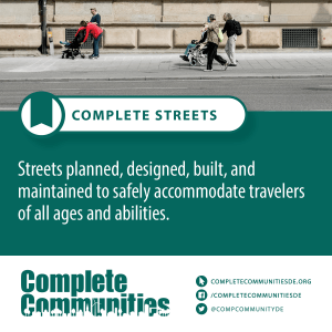
 Complete streets are planned, designed, built, and maintained to safely accommodate travelers of all ages and abilities. While the majority (89%) of Delaware’s roadways are owned and maintained by the Delaware Department of Transportation (DelDOT), local government officials and “citizen planners” may wish to visualize how to balance the needs of all roadway users and transform existing roadways to complete streets.
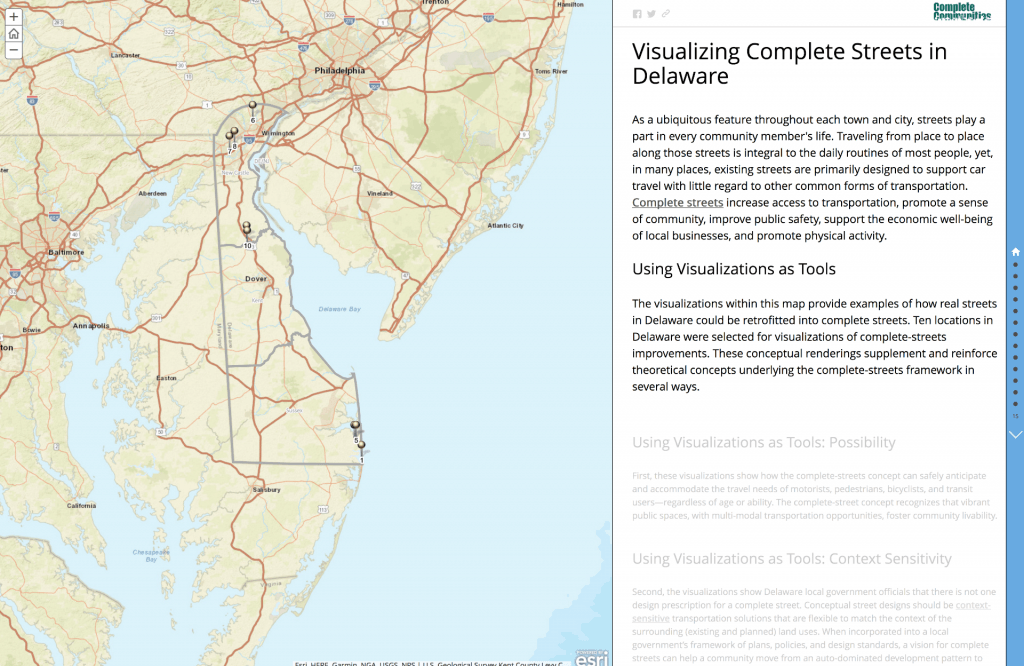
A University of Delaware Institute for Public Administration (IPA) research team conducted a series of field visits and took photographs of various land use, landscape, and roadway context throughout New Castle, Kent, and Sussex Counties in Delaware. Ten locations in Delaware were selected for developing visualizations of complete-streets improvements. Each before-and-after scenario is a conceptual rendering, which is based on an original photograph of the location and is not an actual “engineered” design. SketchUp 3D-modeling software was used to explore complete-streets design options for nine out of the ten locations. The before-and-after renditions were incorporated into a Visualizing Complete Streets in Delaware GIS Story Map and are intended to serve several purposes:
- The visualizations show how the complete-streets concept can safely anticipate and accommodate the needs of motorists, pedestrians, bicyclists, and transit users—regardless of age or ability. The concept recognizes that vibrant public spaces, with multimodal transportation opportunities, foster community livability.
- The visualizations convey that there is not one design prescription for a complete street. Conceptual street designs should be context sensitive to the surrounding (planned and existing) land uses. When incorporated into a local government’s framework of plans, policies, and design standards, complete streets can help a community move from an auto-dominated development pattern to one that is more multi-modal, efficient, and sustainable.
- By providing visual/graphic representations, local decision-makers can visualize how the existing transportation landscape can be retrofitted—during a future transportation improvement project—to become a complete street. Depending on the roadway and land-use context, features may include sidewalks, bike lanes, accessible transit stops, enhance crosswalks, curb improvements, traffic-calming measures, and/or streetscaping amenities.