
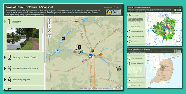
This GIS Story Map was developed for the Town of Laurel to highlight its outstanding redevelopment potential, location for small businesses, and quality of life. The GIS Story Map offers a variety of demographic and marketing data, points of interest, marketing research, and information about infrastructure and rates.
The story map is a project of the Sussex County Economic Development Action Committee (SEDAC), funded by the University of Delaware’s Sustainable Coastal Communities program. The maps and data are easy to upgrade and link to or embed on a town’s website. The map series was constructed by Nicole Minni, GISP, of the University of Delaware IPA and Lee Ann Walling, AICP, of Cedar Creek Sustainable Planners.
Visit the story maps section of the toolbox to learn more about how you can use this tool to promote local government initiatives to support market-ready (re)development in your community.
Contact IPA’s GIS Specialist Nicole Minni, at nminni@udel.edu, to obtain information on contracting her services to develop story maps.